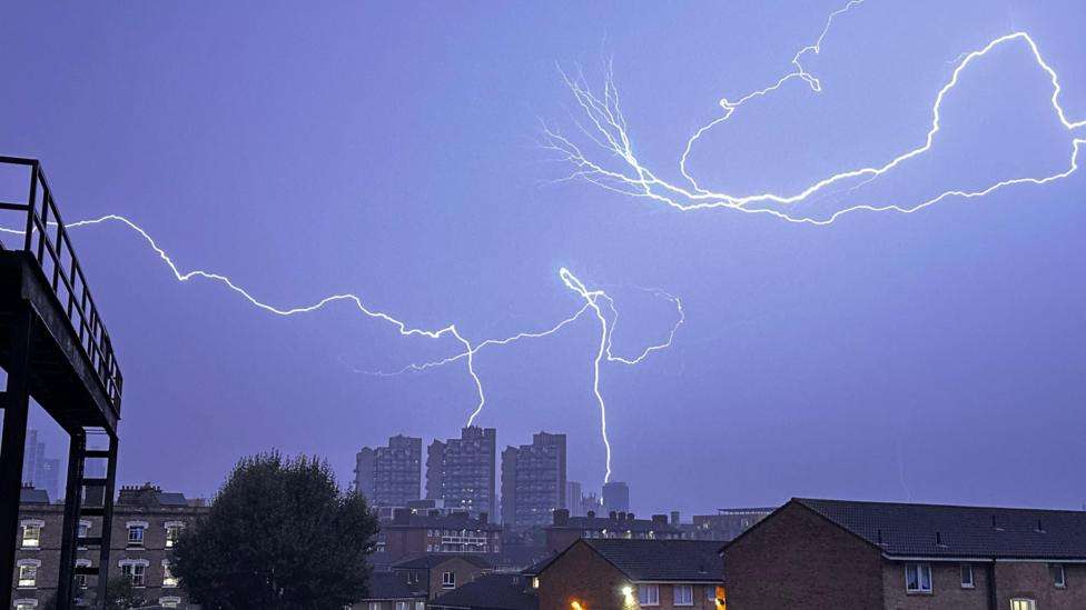
After the settled and warm spell of late summer weather many of us have had over the last week change is on the way.
The Met Office has issued yellow thunderstorm warnings for Friday and Saturday.
As well as the risk of lightning, some places in southern England and Wales could see as much as 50mm (2in) of rain, bringing the possibility of flooding and transport disruption.
This is in contrast to the past week with temperatures above average and for some in northern Scotland, the warmest spell so late in September since 2019.
Spells of thundery weather
Heavy showers and storms will start to develop on Friday, in central southern England, the Midlands, parts of Wales and especially south-west England.
Gusty winds and hail may accompany the downpours, with the possibility of local flash flooding.
Later in the day, the storms are expected to fade. However, another spell of storms is forecast to reach the south coast of England in the early hours of Saturday, with more downpours spreading across England and Wales throughout the day.
On both days, the thunderstorms will be hit or miss, meaning that some locations will escape them altogether. However, where they do occur, as much as 50mm (2in) of rain could fall.
Met Office warnings
Flood warnings
Sunday is also forecast to bring heavy showers, especially to southern parts of the UK, with more rain expected in the days following.
Not everywhere will experience bad weather, however.
Throughout the weekend and into early next week, Scotland, Northern Ireland and areas around the Irish Sea are expected to experience drier and calmer conditions.
There will be plenty of sunshine and pleasant temperatures. However, make the most of it, as it will not be long before the autumn chill arrives.
Autumn equinox and beyond
With the autumn equinox this Sunday - 22 September - it seems that Mother Nature has decided to end summer right on cue.
A change of wardrobe is inevitable for all of us next week. As the winds eventually swing from the north, cooler air will move in as low pressure systems bring widespread cloud and rain.
Daytime temperatures will typically range from 12C in Scotland to perhaps 16C along the England Channel coast. By mid-week, there is a risk of gales and even colder northerly winds.
However, it is entirely possible that an occasional spell of warmer weather may appear during October, which has historically even brought the odd hot spell.


