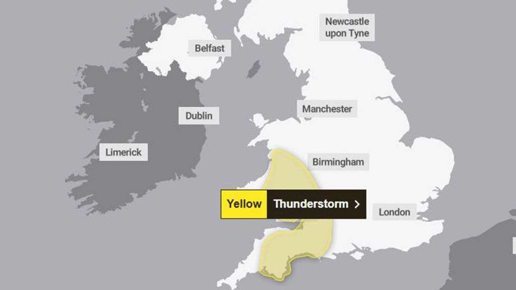
Thunderstorms could cause disruption including flooding in Wales, south west England and parts of the West Midlands from Saturday afternoon.
A Met Office weather warning said some locations could see 30mm (1.6in) of rain in two hours, with a "small chance" that repeated showers may lead to up to 50mm (2in) in a "few places".
"Whilst not all places will see them, slow-moving heavy showers and thunderstorms may lead to some flooding and disruption in places," it said.
Meanwhile, other areas will continue to enjoy glorious sunshine, with 20C (68F) in Carmarthenshire.
Saturday's weather warning, which has been put in place between 13:00 BST and 20:00, covers Herefordshire and Shropshire as well as the south west.
And in Wales it covers 16 of the country's 22 council areas, excluding most of north Wales and Pembrokeshire.
Forecasters say the warm weather will continue for parts of the UK into Sunday and Monday with higher pressure returning in time for the next week's Spring Bank Holiday.
The Met Office said it would become more unsettled from Tuesday with heavy, thundery showers in the west and becoming more widespread on Wednesday.
It also said there was currently a "lot of uncertainty" with weather conditions between Wednesday and Friday, although "temperatures are likely to be a little above average".