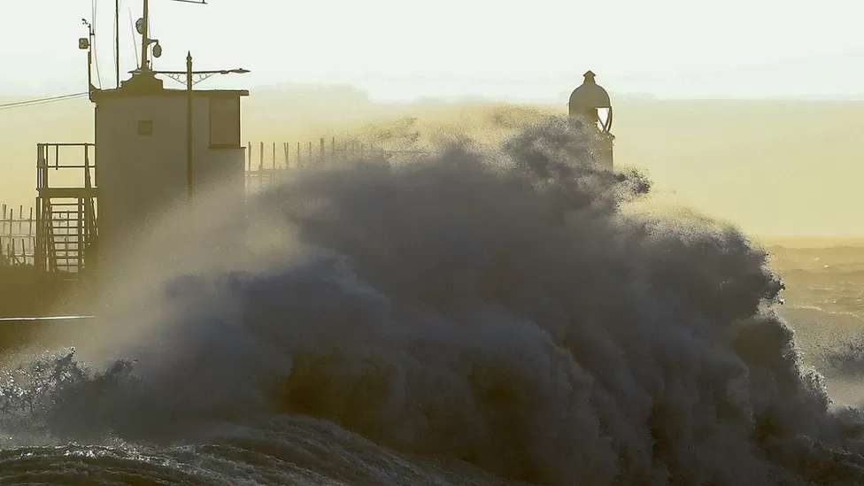
Amber severe weather warnings for wind have been issued by the Met Office ahead of Storm Ciarán moving in on Wednesday night.
Damaging gusts of wind and stormy seas are expected in southern parts of the United Kingdom.
Heavy rain will also spread northwards which may lead on to further flooding issues.
Travel disruption is likely in some areas so the advice is to stay tuned to updates.
Storm Ciarán (pronounced Keer-on) is rapidly developing on its approach to the UK later on Wednesday. In a process called explosive cyclogenesis, the low pressure system will deepen by over 24 millibars in 24 hours.
Winds will strengthen from late Wednesday and through Thursday as Storm Ciarán approaches from the south-west.
The most powerful winds are expected in the English Channel hitting the Channel Islands and north-west France where wind gusts of up to 100mph (161km/h) are predicted.
The Jersey Met Service has issued a red warning from Wednesday evening and throughout Thursday. It warns of storm force winds, exceptional gusts, rainfall and coastal flooding.
Preparations are already under way in the Channel Islands with the Jersey government saying people should work from home where possible to "reduce the risk" to those providing essential services.
In north-west France, red warnings have been issued by Météo-France with Brittany expected to be badly hit. Interior Minister Gérald Darmanin has appealed for people "not to go out during the night from Wednesday into Thursday" across the entire country.
The Met Office amber warnings for Thursday cover the south coast of England and parts of South West Wales
In southern England, there are two amber severe weather warnings from the Met Office.
The first covers south-west England and south-west Wales from 03:00 GMT Thursday until noon on Thursday.
Gusts of 70-80mph (112-130km/h) are expected around coastal areas, perhaps even 85mph (137km/h) in the most exposed locations.
Strong winds will then transfer east along the south coast into south-east England where the second amber warning is valid from 06:00 to 20:00 on Thursday.
These wind strengths have the potential to bring damage to trees and power lines with transport disruption likely. Cross channel ferries could be especially disrupted.
Very large waves could bring additional impacts to coastal areas of the English Channel.
Inland gusts across southern parts of the UK could be as high as 50-60mph (80-97km/h) which again can bring some disruption and damage.
The Met Office points out that the extent of these high winds remains a little uncertain and is dependent on the exact track of Storm Ciarán.
Heavy rain
Rain associated with Storm Ciarán will move north-east from Wednesday evening and throughout Thursday.
Persistent and heavy rain will be followed by heavy showers and thunderstorms.
There are severe weather warnings in force for southern England, parts of Wales, north-east England and Northern Ireland suggesting widely 20-40mm (1-2in) of rainfall with 40-60mm (2-3in) possible over high ground.
Flooding
While rainfall totals expected with Storm Ciarán are not necessarily high or unusual with autumn storms, problems are likely as it comes after a very wet period for many.
River levels remain high with ground already very saturated. There are also still around 70 flood warnings in force across the UK.


